Katja Brooks · 26 September 2026
Growth ring sequences in high-altitude conifers as indicators for reconstructing multi-century wildfire chronologies across the Rockies
Researchers rely on growth ring sequences in high-altitude conifers to build detailed wildfire histories that stretch across several centuries in the Rocky Mountains, where species such as limber pine and bristlecone pine preserve scars from past fires within their annual rings. These scars form when flames damage the cambium layer yet leave the tree alive enough to continue growing, creating distinct markers that align with specific years when fires occurred.
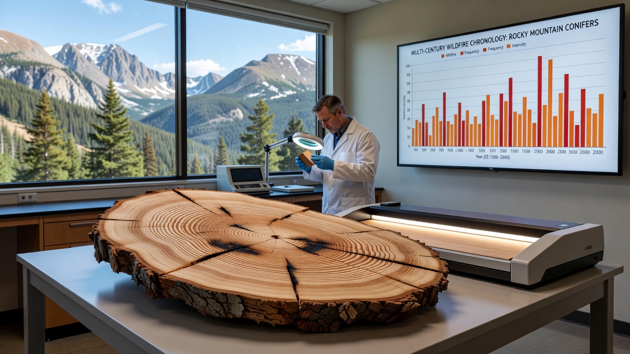
Scientists collect cross-sections or increment cores from living trees, standing snags, and remnant wood at elevations often above 2,500 meters, then measure ring widths while noting the position and extent of fire scars. Cross-dating techniques match patterns across multiple samples to establish precise calendar years, allowing reconstruction of fire frequency, severity, and spatial extent even in remote areas where written records remain sparse or nonexistent.
Identification of fire scars in conifer rings
Fire scars appear as abrupt changes in ring structure, typically with charred or resin-soaked wood followed by callus tissue that seals the wound, and these features stand out against the regular sequence of earlywood and latewood bands. Multiple scars on a single tree or across neighboring specimens indicate repeated burns, while the absence of scars in certain intervals reveals longer fire-free periods that researchers compare against climate reconstructions derived from the same rings.
Species and site selection across the range
High-altitude conifers in the Rockies, particularly those growing on rocky outcrops with thin soils, experience slower growth rates that produce narrow rings sensitive to both climate and disturbance, which makes them valuable archives for multi-century records. Teams sample sites from northern British Columbia through Montana, Wyoming, Colorado, and into New Mexico, selecting trees that show external catfaces or basal charring as initial indicators of past fire exposure. Data compiled by Natural Resources Canada highlights how limber pine stands in the Canadian Rockies have yielded fire chronologies extending back to the 1400s, while comparable work in the southern Rockies draws on bristlecone pine records that reach even earlier.
What's interesting is how these high-elevation sites often escape the heavy logging and land-use changes that obscure signals in lower forests, preserving longer undisturbed sequences. Observers note that combining ring data from multiple elevations and aspects helps separate regional fire patterns from localized events, producing maps of fire spread that align with known drought years recorded in independent climate proxies.
Reconstruction methods and temporal depth
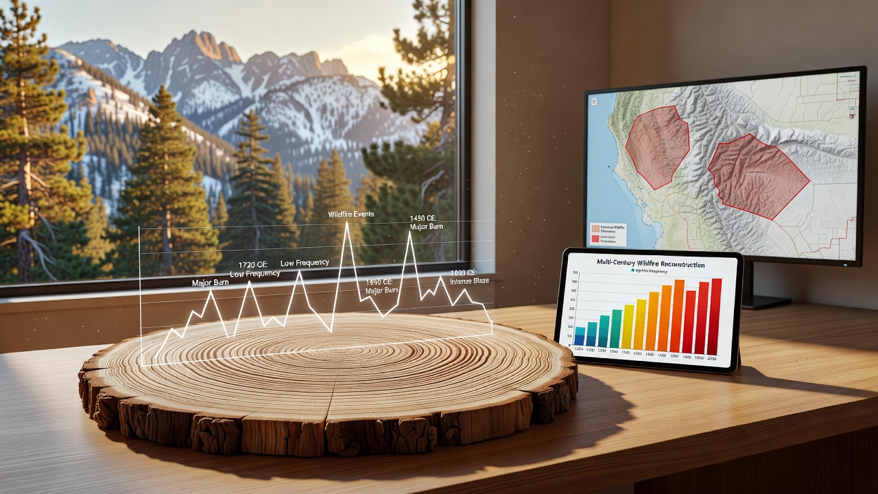
Chronology building starts with visual and microscopic examination of each sample, followed by statistical cross-dating that achieves accuracy to the exact year in most cases. Once dated, fire scar dates undergo filtering to distinguish between widespread events that affected many trees and isolated scars that might represent smaller surface fires or even non-fire injuries. Software tools developed at research institutions compile these dates into composite chronologies, revealing cycles of fire activity that range from frequent low-severity burns every 10 to 30 years in some areas to infrequent high-severity stand-replacing fires spanning centuries in others.
Studies coordinated through the USGS Fire Science program demonstrate how these tree-ring records extend knowledge of wildfire regimes well before the 20th century, filling gaps in historical documents and satellite imagery. Evidence from multiple drainages shows that fire frequency increased during certain dry periods in the 1700s and 1800s, then declined sharply after widespread grazing and fire suppression began in the late 1800s.
Integration with other data sources
Researchers cross-reference ring-derived fire dates with charcoal layers in lake sediments and historical accounts from early explorers to strengthen interpretations, while climate data from the same trees helps test whether drought or temperature anomalies preceded major fire years. This multi-proxy approach reduces uncertainty and produces more robust chronologies that managers use to calibrate modern fire models. One study revealed that certain high-elevation sites experienced synchronous fires across hundreds of kilometers during extreme drought episodes, patterns that inform current risk assessments for similar conditions projected under changing climate scenarios.
According to findings published by the University of Arizona Laboratory of Tree-Ring Research, continued sampling in under-studied drainages of the central Rockies continues to refine these long-term records. Field campaigns planned for September 2026 aim to add new sites in the Wind River Range and extend existing chronologies by several decades where remnant wood remains available.
Limitations and ongoing refinements
Although powerful, the method faces challenges when scars heal over completely or when subsequent fires consume earlier evidence, requiring careful selection of preservation sites and statistical adjustments for missing events. High-altitude locations also experience fewer fires than lower slopes, so the resulting chronologies emphasize infrequent but ecologically significant events rather than the full spectrum of fire activity. Teams address these gaps by expanding sample networks and incorporating new technologies such as CT scanning to detect hidden scars within intact cores.
Conclusion
Growth ring sequences from high-altitude conifers supply one of the longest continuous records of wildfire activity available in the Rockies, offering precise annual resolution that spans multiple centuries and supports both scientific understanding and land-management decisions. As additional samples enter databases and analytical methods improve, these chronologies will continue to anchor reconstructions that connect past fire regimes with present conditions across the mountain range.